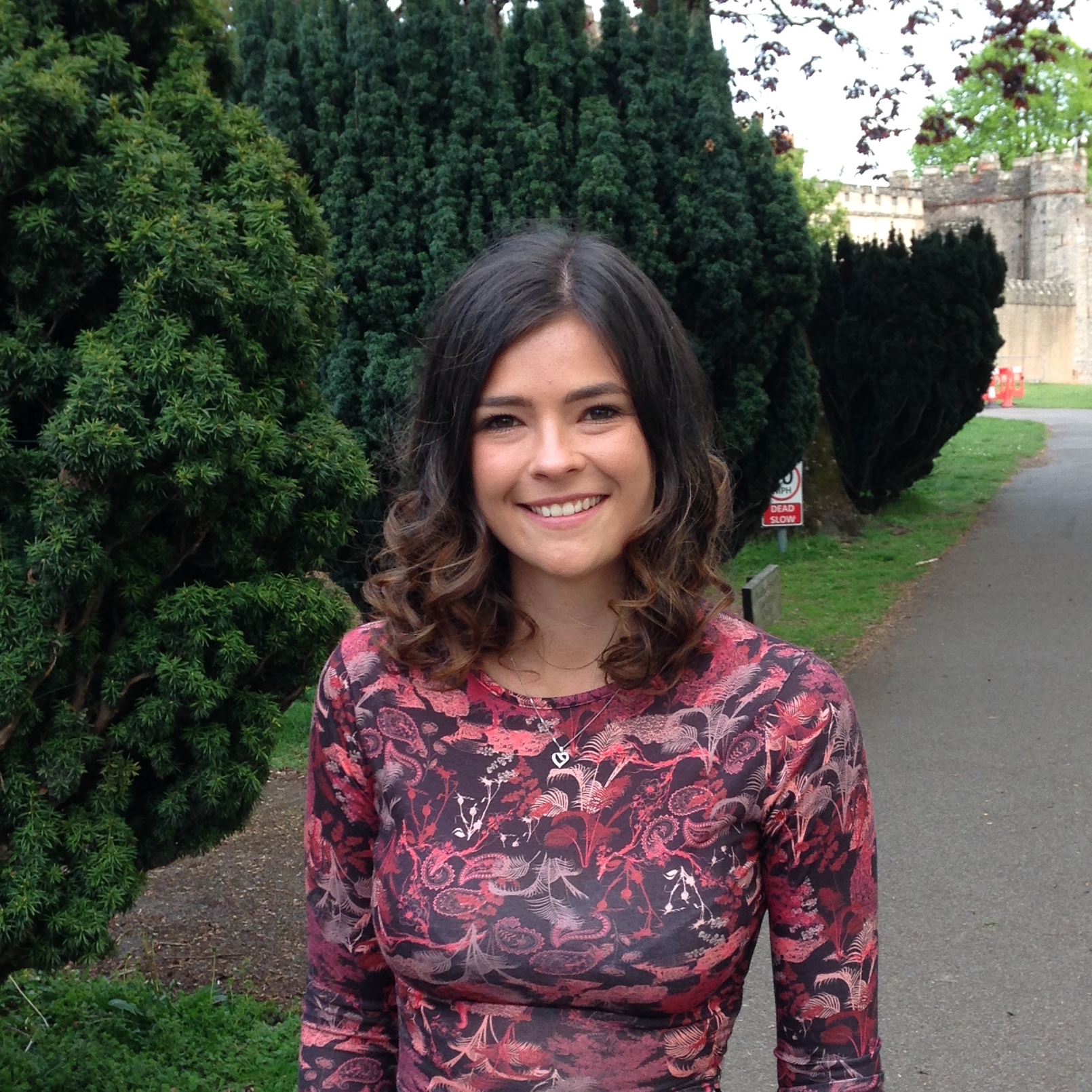



Sophie Taylor

Software Developer

07397 963818
sophie_taylor96@yahoo.co.uk

Welcome!


My name is Sophie Taylor and this is my personal website. I am a software developer for a leading flood risk management company, with experience in both frontend and backend development.

I have particular expertise in using Python programming for spatial analysis of large raster, vector and CSV datasets, utilizing libraries such as gdal, pandas and numpy. I also have experience in web development, using Django to create an API and vuejs to create a GUI.


I learnt the fundamentals of Python during my Masters degree in GIS and focused my dissertation on creating a program written in Python. I have developed these skills since at JBA, where I have been analysising data with Python for over a year.
I taught myself HTML and CSS when creating a GUI as part of my Masters dissertation and further developed these skills by designing and upkeeping a website for a holiday house business.
I first gained experince using Javascript during my Masters Dissertation to create graphs and maps on a GUI. I then developed these skills in my current role as a web developer.
I am currenly using vuejs to create a GUI.
I am currently developing inside a docker container.
I first used Django during my Masters dissertation. Since then, I have used Django and Django rest framework to create APIs in my current role.


Work Experience


Web Developer


JBA Risk Management - Graduate Scheme
24 JUNE 2020

I am currently creating a GUI within a docker container. For backend development I am using the web framework django to create an end point API and to process data. For frontend development I am using vuejs, as well as HTML and CSS.

Python Developer


JBA Risk Management - Graduate Scheme
1 NOV 2019

I used python for spatial analysis where I fixed bugs and developed feature requests in existing code, as well as coding new CLI tools for internal use by the data development teams. This involved analysis of large spatial datasets in raster, vector and CSV formats, allowing me to gain experience with libraries such as pandas, gdal, numpy and matplotlib.

My main achievement in this role was the 'Flood Report Generator'. This took input raster and vector files, coordinates and a buffer size and generated a flood assessment report PDF. This calculated flood statistics within the buffer zone and produced multiple map outputs.

GIS Specialist


JBA Risk Management - Graduate Scheme
28 APRIL 2019

For the first 6 months in my role at JBA Risk Management I worked in the data development team where I modelled flooding in Europe.

This involved extensive work in QGIS and ArcGIS, as well as using CLI tools created by the software teams. This gave me insight into what processes were still being manually achieved and therefore how further automation could increase efficiency.


GIS Technician
QC Data @ Northern Powergrid

10 FEB 2019

During my time at QC Data I used SMART GIS to record repairs to electricity cables.

IHR Project Support
NHS

14 JAN 2019

I worked on the E-obs project, helping staff transition from paper based patient observations to electronic observations with use of an app on an iPad.

My Education


sghs
Skipton Girls High School

2007-2014

A-Levels: Maths (B), Geography (B) and Psychology (C)


newcastle
Newcastle University

2014-2017

BSc. (Honours) Physical Geography - Upper Second Class 2:1


manchester
Manchester University

2017-2018

MSc. (Honours) Geographical Information Science - Distinction


Interests